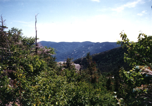
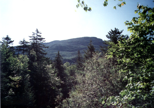
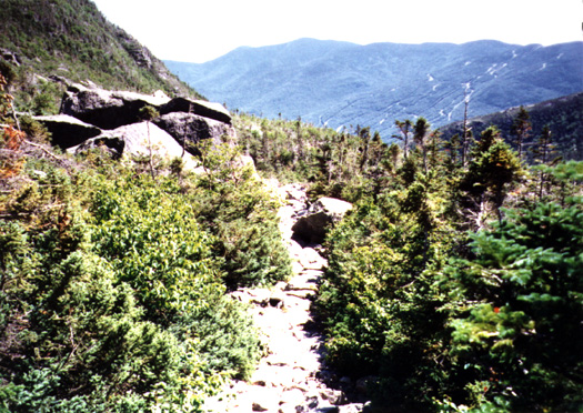
Mount Washington is located in the White Mountain National Forest in upstate New Hampshire. It is the highest point in the northeastern United States with a summit of 6,288 feet.
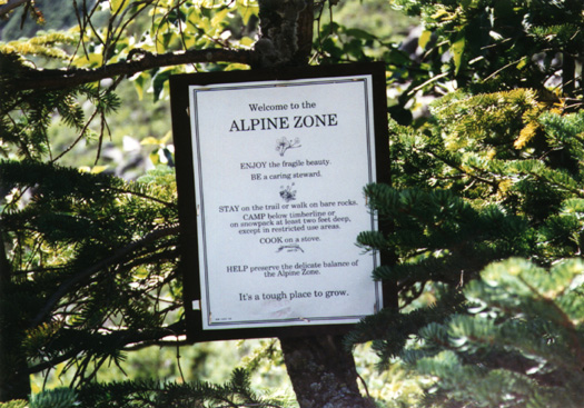
The summit of this mountain is known as having the worst weather in the world. The world record for wind speed was recorded there on April 12, 1934 at 231 mph. Winds exceed hurricane force (75 mph) on an average of 104 days each year. People have died from exposure there in the summer time. In fact, at the summit is a sign listing the names of people that have died on the mountain and the conditions surrounding their death.
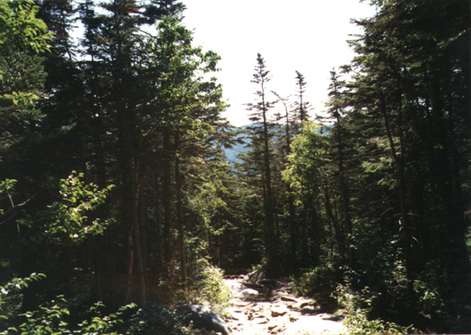
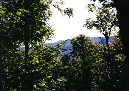
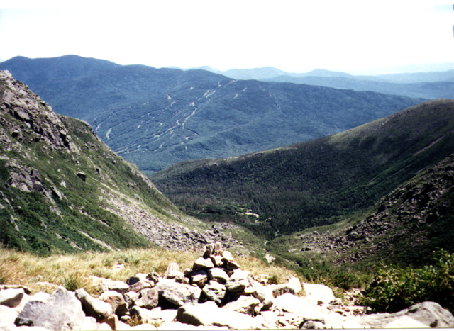
Regardless of all that, we had great weather for our trip! *grin* The temperature at the summit was in the mid 40's, the wind was only 2 mph, and it was a bright sunny day!