Big South Fork NRRA

Tennessee/Kentucky Border Area

line
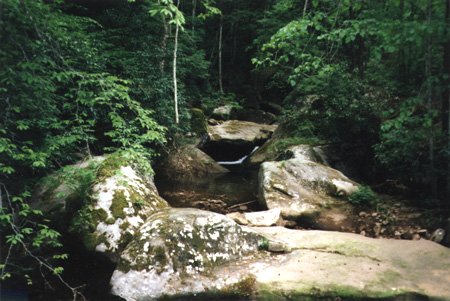
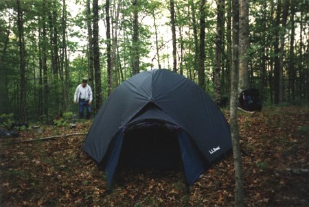
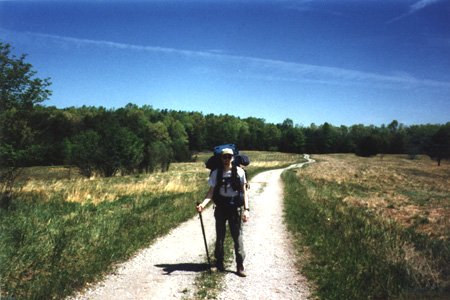
The Big South Fork National River and Recreation Area was recommended to me by a guy that works in a local outfitter's shop. So, my bro-in-law in Tennessee and I went to check it out. We were out for three days/two nights and got rained on two of the days and both nights. *grin* But it was fun! The last night gave us quite a light show! Nothing like a thunderstorm in the wilderness with nothing but a tent between you and Mother Nature!

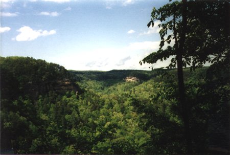
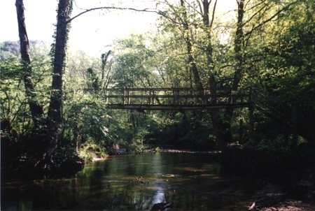
The BSF NRRA is located along the TN/KY border. We started our trip at the Leatherwood Ford trailhead and followed the John Muir Trail up to the Station Camp Creek Crossing. The river was running too high to ford, tho, so we had to head back on the Duncan Hollow Trail instead of crossing over to the River Trail East. line

43.2K
It's hard to tell, but there is a stream running around these rocks.
29.9K
A scenic view looking out over the surrounding wilderness.
42.3K
The trail wound around and eventually we were standing at the top of this pile of rock.


42.5K
This was Home on the first night out. That's my bro-in-law starting the fire.
31.9K
Ron is standing at the edge of a cliff.
107K
The night after the big storm. We had to throw the tent up fast! Ended up setting it up in mucky sand/dirt. Made a mess but we stayed dry all night!


40.7K
The bridge over the Laurel Fork. We camped near this the night of the storm.
42.1K
The sign on the other side of that bridge. We started at Leatherwood Ford.
34.2K
Me, in the final stretch back to civilization! Do I really want to finish it....?


Back to Main page Back to Hiking page